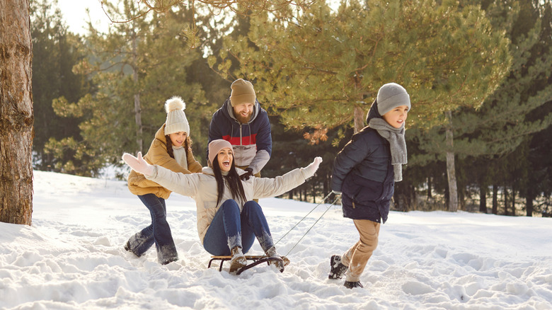
Winter Is Almost Here. Here's What The National Weather Service Is Predicting
We may receive a commission on purchases made from links.
Winter is almost here, and people are scouring weather predictions to see what the season may hold. The Old Farmer's Almanac winter weather forecast is a generational favorite for many Americans, originating in 1792. However, it's the National Weather Service, which formed in the late 1800s, that puts out the official weather forecast for the United States. These two popular forecast outlets agree on some things and disagree on others.
The overriding theme of the NWS winter weather forecast is the presence of a La Niña weather pattern. In general, a La Niña season is a climate pattern originating in the Pacific Ocean that has two impacts on weather throughout the continental U.S. When La Niña is in effect, the Northern portion of the country usually sees wetter and cooler conditions, while the Southern part experiences drought and temperatures that are warmer than normal.
According to the NWS, this year's La Niña season is not expected to be particularly strong, nor last very long. As a result, some typical impacts of La Niña will happen — like widespread drought in the Southern U.S. — while others won't be as noticeable. Every state in the lower half of the country will see drought conditions continue or new drought areas develop. Additionally, many areas along the Eastern Seaboard and Northeast are expected to experience drought this winter. The majority of these areas will see above-average temps, with the exception being the Northeast, which could go either way.
Many states will see a wetter winter (but not necessarily warmer)
While La Niña season usually brings very wet conditions to the Pacific Northwest, the National Weather Service is predicting slightly above-average precipitation there, as well as much of the Northern U.S. Areas that may see significantly higher precipitation this winter include Montana, the Great Lakes region, and Western Alaska. However, many states in the center of the country – those bordering the Mississippi River, with the exception of the southernmost — are leaning toward a wetter-than-average winter.
The areas expected to see cooler-than-average temperatures this winter are fewer than those looking at a warm winter. The states along the Canadian border from the Pacific Northwest to the Western shore of the Great Lakes stand the best chance of seeing below average temps. The Northern tier of the Pacific Northwest, Upper Midwest, and Western Great Lakes regions all have a chance at seeing temperatures run below the norm this winter.
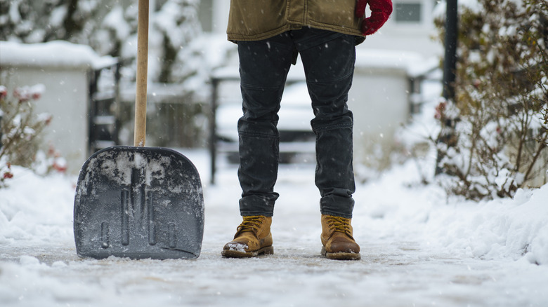
While the NWS winter forecast does not predict snowfall, odds are good that snow accumulation will occur in areas where above average precipitation overlaps with below-average temperatures. However, isolated weather events do happen, so those who love winter sports should monitor the OpenSnow Forecast and other snowfall forecasting tools, in addition to NWS updates. Areas where high precipitation and low temperatures are expected are also the most likely to see hazardous driving conditions. Those living or traveling in these areas are encouraged to have a survival emergency kit in their vehicles at all times.