Winter Is On The Way. Here's What The NOAA Forecast Is Predicting For The Season

We may receive a commission on purchases made from links.
With fall underway, winter weather forecasts are rapidly being released, including the annual winter forecast from the National Oceanic and Atmospheric Administration. The NOAA, which also operates the National Weather Service, is the official provider of weather and climate information in the United States. A quick glance at the NOAA's December-through-February outlook map shows it largely agrees with the popular Old Farmer's Almanac's winter weather forecast for winter 2025, with a few notable differences.
Overall both the temperature and precipitation outlook maps issued by NOAA for the upcoming winter season are more uniform across specific regions than the versions put forth by the Old Farmer's Almanac, which identifies some anomalies within certain regions, like the Southwest. In terms of temperature, the NOAA map shows three layers: Areas leaning or forecast to be warmer, leaning or forecast to be cooler, and those which could go either way. The layer of leaning to the warm side begins at the top of California, dips down to the northern portion of Texas, then begins to gradually climb, taking in the entire Southeast and most of the Eastern Seaboard before ending at the Vermont/Massachusetts border.
This year's forecast basically mirrors La Niña season winter weather conditions, since NOAA expects a mild, brief La Niña effect as winter gets underway. By NOAA's calculations, this results in colder than normal conditions in an area stretching along the Oregon/Washington border and across northern Idaho. The cool swath (essentially following the Polar Jet Stream) then dips down into central Nebraska before rising back up to Michigan's upper peninsula. The "equal chances" belt, which could see temps go either way, begins on the Pacific Coast encompassing most of Oregon, then widens as it dips and bends eastward, sandwiched between the cooler and warmer than normal regions.
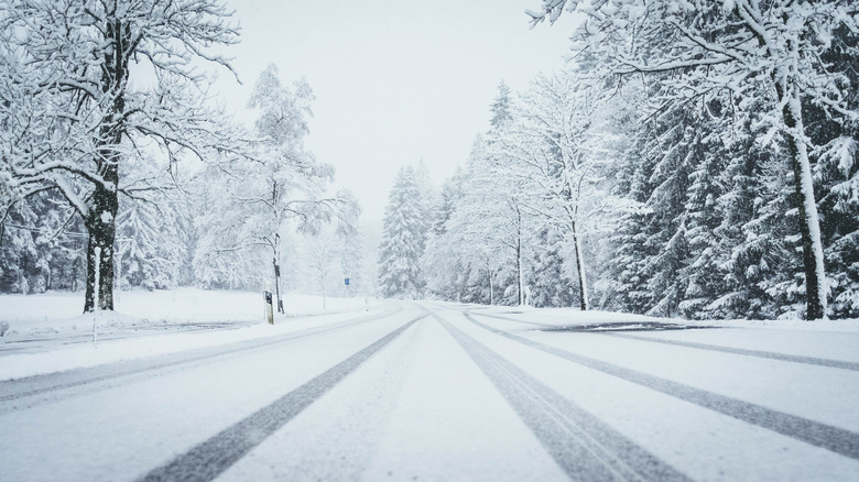
There is no consensus on snowfall for this winter
The effects of La Niña are also evident in the precipitation prediction in this year's NOAA winter weather forecast. The NOAA expects a region ranging from the Pacific Northwest to the Upper Midwest to experience above-average precipitation. This region then cuts down the Mississippi River Valley into Central Arkansas before looping back up to Western New York. This coverage reflects typical La Niña season geographic impacts, although NOAA does advise that by mid- to late-winter, La Niña's influence will likely dissipate.
For those who love winter sports in national parks and elsewhere, the bigger question is how much of that predicted precipitation will be snow. Unfortunately for those anxiously awaiting to try out their Liberty skis or Burton snowboard on freshly fallen powder, they will find no answers here. Unlike other winter outlooks, the NOAA forecast does not provide information on how much snow to expect. According to the NOAA, snowfall is not reliably predictable more than a week out. With that in mind, most experts suggest being flexible when choosing a destination for the can't-miss slopes this upcoming snow ski season.
The rest of the U.S. is expected to go either way (higher or lower than average) with regards to precipitation, or is facing dry and drought conditions. Dry conditions are forecast throughout the American South from ocean to ocean. This belt of below-average rainfall extends up the East Coast beyond the Mid-Atlantic into central Virginia. When it comes to regions facing increased drought conditions, this is where the NOAA and the Old Farmer's Almanac are most divergent in their predictions, especially when it comes to Florida. NOAA says all but South Florida will be dry. The Almanac claims Florida will be wet.