Lake Effect Snow: What You Need To Know About The Weather Phenomenon
We may receive a commission on purchases made from links.
Once winter weather is on the way, many across the country turn their attention to snow. Those monitoring the forecasts range from winter sport enthusiasts hoping for above-average snow accumulation to gardeners rushing to prevent frost on late-season crops. Whether the possibility of snowfall elicits cheers or jeers, millions of Americans want to know when, where, and how much of it will occur. However, one weather phenomenon in particular can throw a monkey wrench in even the most accurate forecasts. Lake effect snow is incredibly difficult for forecasters to accurately predict, and can completely alter local conditions when it happens.
Traditional snowfall occurs when water vapor in high-altitude clouds freezes and crystallizes. As a result, meteorologists can generally predict snowfall by analyzing the air temperature at various altitudes along with the moisture content of the air. Lake effect snow, on the other hand, happens when cold air flows over a large body of warm water. In very simple terms, the moving mass of cold air absorbs vapor on the water's surface. When it reaches land on the other side, snow — sometimes several feet — suddenly begins to fall.
In the U.S., this phenomenon is most commonly associated with the Great Lakes region, where cold air blows straight down from the Arctic. However, it can happen near other large bodies of water around the globe. Utah's Great Salt Lake is one example. Some coastal areas around the U.S., UK, Japan, and Korea also experience this sort of snow event when cold air passes over warm ocean waters.
Lake effect snows are localized, but impacts can be huge
Lake effect snows don't happen every time cold air moves across warmer water. That is partially because the temperature differences, wind speed, and other conditions have to be just right. Given that both water and air temperatures can vary wildly across short distances, it is easy to see why predicting lake effect snow is somewhat dicey. It also helps explain, at least partially, why the impacts of lake effect snow are so localized: Most lake effect snow bands are only a few miles wide at most. Even then, conditions often vary wildly along the length of the band.
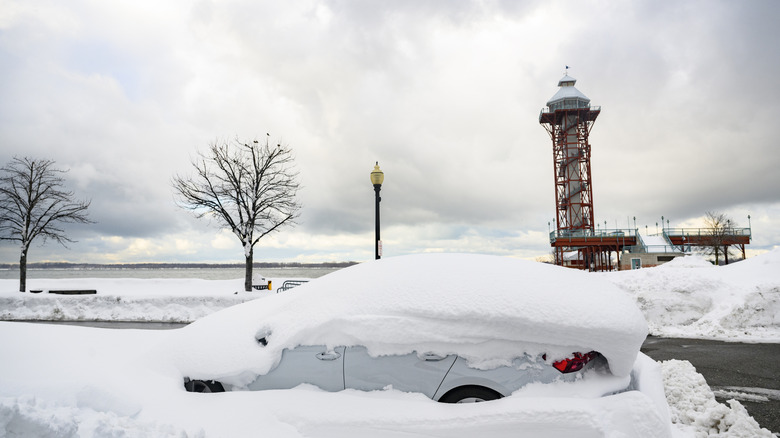
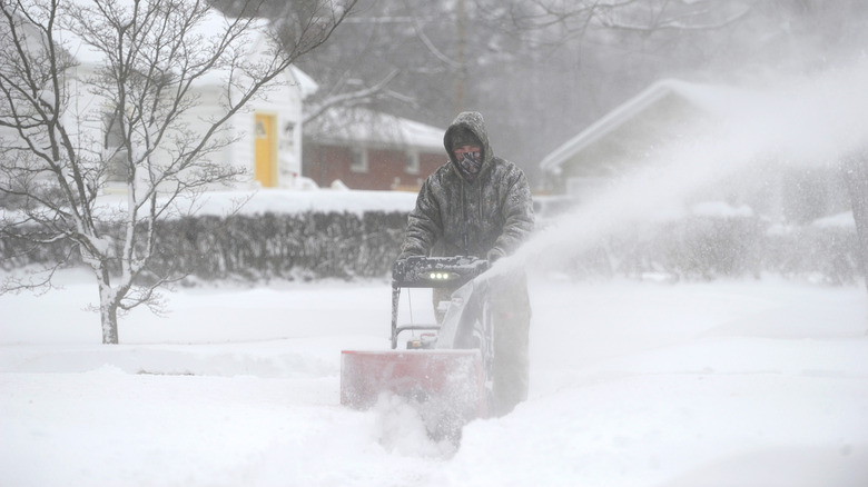
Lake effect snow often occurs during late fall and early winter, before water temperatures have cooled significantly. However, it can happen throughout the winter season, and is especially apt to happen in years when water temperatures remain unseasonably warm throughout the year. When it does happen, lake effect snow often dumps a tremendous amount — up to 7 feet in one recent event — in a very localized area. Such massive amounts can make snow removal hacks invaluable for clearing sidewalks and driveways.
Another risk is that lake effect snow storms can happen quickly, causing near white-out conditions with very low visibility. This can present quite a danger if you happen to be driving when such an event hits. With that in mind, experts recommend keeping your vehicle stocked with an emergency supply kit, such as the Justin Case all-weather auto safety kit. It is also advisable to carry extra clothing, snacks, and water, and to keep your cell phone fully charged. Even if you're just stuck in traffic for a couple of hours during a lake effect snowstorm, you'll be glad you took these precautions.