What To Know About Avalanche Danger Forecasts Before Hiking During The Winter Months
We may receive a commission on purchases made from links.
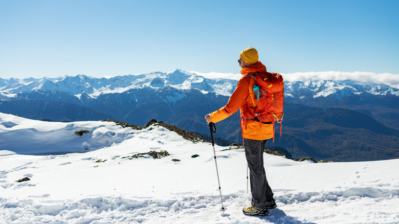
Snow-covered mountains are a welcome sight for most everyone who enjoys outdoor winter activities. However, although these snowy peaks offer great recreational opportunities and incredible views, they also serve up avalanches from time to time. Given that avalanches are one of the most common ways people die in the wilderness, it is prudent to not only know what to do if you're caught in an avalanche, but also to be aware of the potential for such a snowslide. With that in mind, there are a few things to know about avalanche danger forecasts before hiking during the winter months, such as what they are, how to access them, and what precautions you should take based on the forecast.
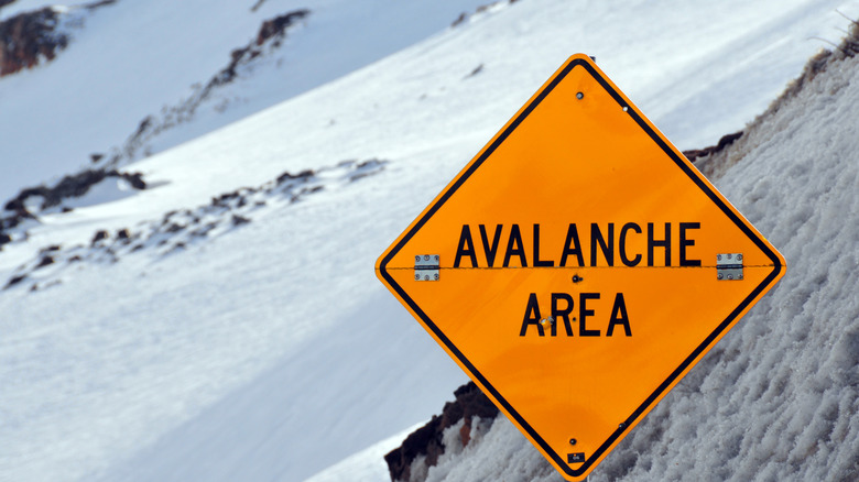
For starters, avalanche danger forecasts are advisories meant to inform the public about the likelihood or risk level of experiencing an avalanche in a general area, based on the prevailing conditions. These forecasts are only issued for areas deemed as avalanche territory, meaning snowy slopes steeper than 35 degrees. In North America, these advisories are issued by various avalanche centers throughout the United States and Canada. Avalanche danger forecasts are issued for a specified amount of time, typically expiring after 24 or 48 hours. In addition to the danger level for avalanches during that time period, they also include information on snowpack and weather conditions.
Reading and heeding avalanche danger forecasts
The totality of an avalanche danger forecast goes beyond the expected comprehension level of a novice. However, although it is designed to be fully understood by those who have taken avalanche awareness courses, it also contains a number of elements that can be easily understood by everyone. So, for winter hikers, there are a few keys to reading an avalanche forecast before hitting the trail.
The first thing to know is how to access the forecast. In the United States, this is best done by visiting avalanche.org, then finding the avalanche center nearest your destination. Once you find the forecast for your area, it is important to verify the time period for which the forecast is valid. Since conditions can change rapidly, you always need to reference the forecast that encompasses your hiking window. The main thing you should reference on the forecast is the danger level scale, which is a fairly prominent graphic. The danger level is rated on a five-point scale, from low to extreme, for three different elevation levels: below, near, and above the treeline.
Besides the danger level graphic, the other section you need to pay attention to is the portion labeled "The Bottom Line." Here you will find not only a summary of the forecast, but also suggestions for staying safe in those particular conditions. Regardless of what the forecast shows, anytime you are heading into avalanche territory during winter, it is critically important to be prepared with emergency supplies. Included in the emergency kit should be an avalanche transceiver, snow probe, and shovel. These items can be obtained individually or purchased together as a kit, such as the BCA Backcountry Access T4 Avalanche Rescue Package. It is also advisable to always let someone else know of your planned route and estimated time of return.